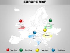
Continental boundaries in european map 1114
Just download our ready to use continental boundaries in European PowerPoint Maps which will help you to make a presentation on the countries located in Western and Northern Hemispheres on the European continent. The enticing features of our PPT template will help you to show the geographic details about the country such as its total area, climate conditions, natural environment, coastal geography, etc. This PPT slide design will be useful for researching about the new sales territories for your business, for studying the new region for starting up a new business and new office locations, for travel planning etc. You can further use this slide visual to describe the other features of the country such as its government and administration, about its culture, education, health care sector, countries International relations, history of the nation, about its national flag and emblem etc. So just start preparing an alluring PPT slide show about the beautiful country. Download the slide now. Create genuine expectations with our Continental Boundaries In European Map 1114. Build belief in a glittering future.
You must be logged in to download this presentation.
 Impress your
 audience
Editable
of Time
PowerPoint presentation slides
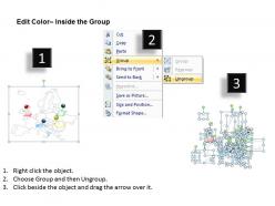
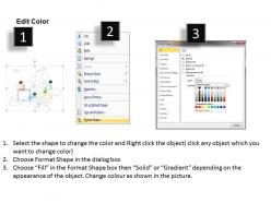
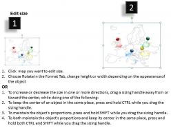
Professionally crafted template design suitable for professionals from diverse sectors. Convertible into PDF or JPG formats. Vector based maps. Manually editable presentation graphics, text, font, colors and layout, region, shading, etc. Modify and personalize the presentation by including the company name and logo. Pictures graphics do not pixelate when projected on wide screen.
People who downloaded this PowerPoint presentation also viewed the following :
Continental boundaries in european map 1114 with all 5 slides:
Our Continental Boundaries In European Map 1114 are classy and contemporary. They cater for the elite and the elegant.
-
Content of slide is easy to understand and edit.
-
Unique research projects to present in meeting.


