Israel country powerpoint maps
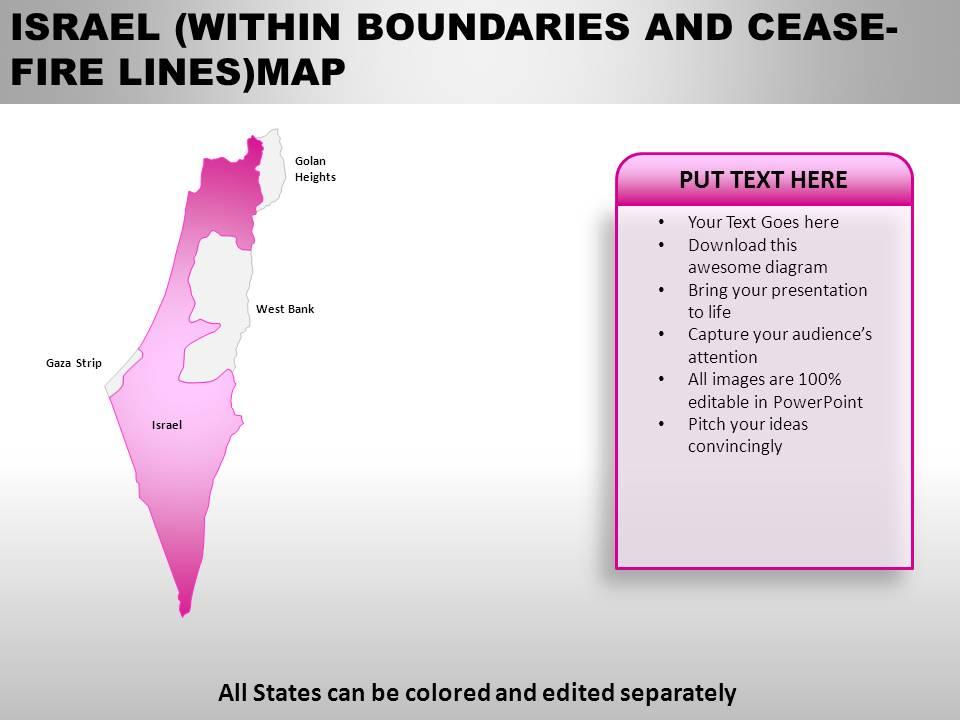
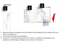
SlideTeam presents you yet another conventional design for expressing your global business approach through a PowerPoint presentation. Israel Country PowerPoint Maps can be used to display location and other geographic details in your PowerPoint presentation. Our editable world PowerPoint maps are perfect for sales, marketing and supply chain presentations. These maps are maps are vector based and 100% editable in PowerPoint and can be separated, moved, colored and designated as per your requirement. You can easily show sales territories, business and new office locations, travel planning etc in your presentations. Our designers have given this PPT slide very convenient and expressive looks. All stages in this slide can be colored according to your liking and edited separately. Our exclusive PowerPoint Maps allow you to achieve your desired objective and let you portray your motive with ease and in a fashionable way. Download this presentation for an everlasting experience and leave a positive impression while explaining your business locations through this impressive PowerPoint design.You are doing a business presentation and you need to share information. You have a lot of data and don?t even know where to start. Just let our Israel Country PowerPoint Maps guide you all the way.
You must be logged in to download this presentation.
 Impress your
 audience
Editable
of Time
PowerPoint presentation slides
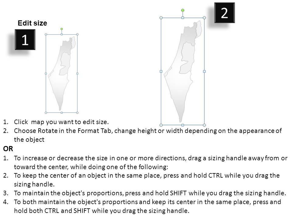
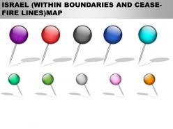
The following map is a representation of a PPT slide which can be used for laying down your business location and geographical details in that particular resign and can be used by professionals for their PowerPoint presentations. You can alter the size of the map used in the image and also use location icons. Experience these Ppt slides in the full screen version after downloading.
People who downloaded this PowerPoint presentation also viewed the following :
Israel country powerpoint maps with all 7 slides:
People will surely forget what you said but you can be sure they won't forget how you made them feel. Add emotions during presentations with great Israel Country PowerPoint Maps.
-
Appreciate the research and its presentable format.
-
Colors used are bright and distinctive.


