Bahamas country powerpoint maps
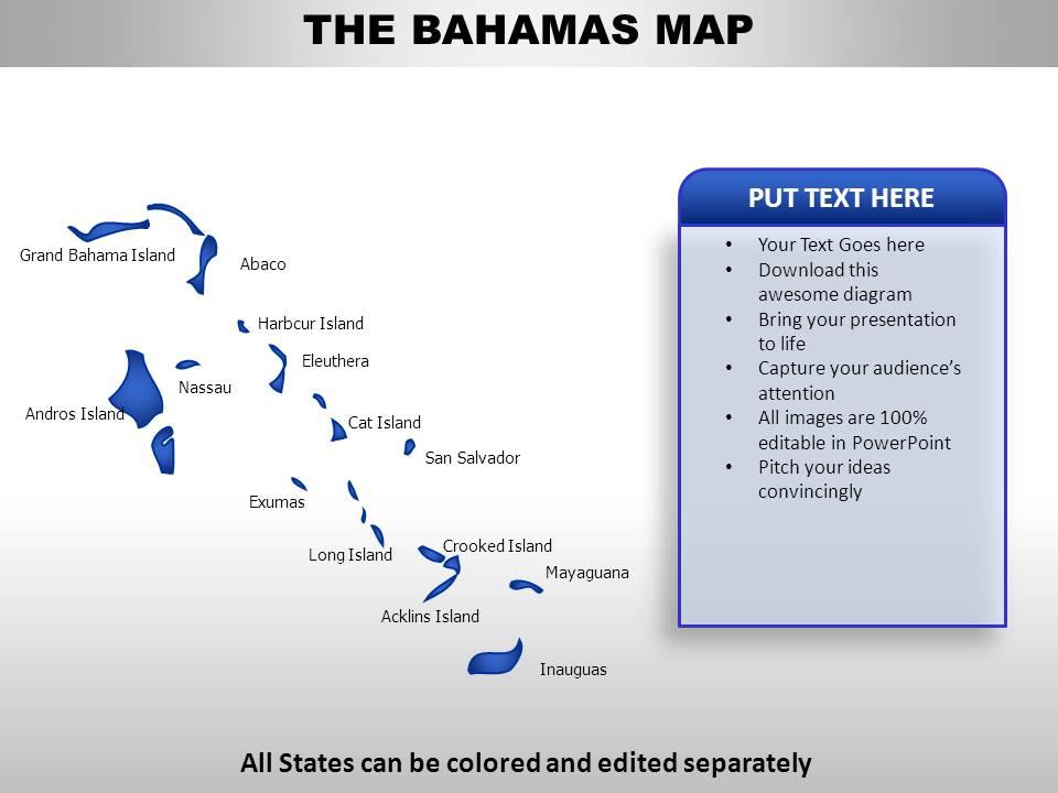
Outline the regions and the cities on our Bahamas country PowerPoint maps for your next presentation. Bahamas map PPT PowerPoint presentation slide is appropriate for sales territories and travel planning PPT presentation, presentations on geography, people and new business locations. This Bahamas map PPT template is customizable. Each shape is 100% editable vector based. Users can edit the slides as per their need to design an effective PowerPoint presentation. Thus, easily add text to the presentation map. You may select and pull apart the states and territories if required. Group or ungroup easily the various map sections. This high quality, editable Bahamas PowerPoint slide background country map have been carefully built to specify the location and geographical details in PPT PowerPoint. Use these custom Bahamas PPT presentation map model to present social, economic, political and demographical information of Bahamas. You may also use it for travel and tourists information sharing.Our Bahamas Country Powerpoint Maps do not discriminate. They give equal weightage to all your ideas.
You must be logged in to download this presentation.
 Impress your
 audience
Editable
of Time
PowerPoint presentation slides
Impressive picture quality. Very good visual representation on wide screen without any blurriness. Ease of download. Can be saved in any number of formats. Also compatible with multiple software options available both online and offline. Thoroughly editable content. Ease of inclusion and exclusion of content at ones sole requirement. Personalize the presentation with company name and logo. Widely used by professionals, travel companies, geography students and teachers.
People who downloaded this PowerPoint presentation also viewed the following :
Bahamas country powerpoint maps with all 7 slides:
Our Bahamas Country Powerpoint Maps are like dietary supplements. They enhance quality of intake.
-
Easily Editable.
-
Excellent Designs.


